In the context of increasingly complex climate change and natural disasters, unmanned aerial vehicles (UAVs) have become indispensable tools in emergency response and rescue operations worldwide.
China: UAVs in Flood Relief Efforts
During the historic flooding in Henan Province, UAVs played a critical role in rescue operations and maintaining communication in areas isolated by severe inundation.
Several remotely operated UAVs were deployed to establish temporary telecommunications networks, providing stable coverage for areas exceeding 50 km² and operating continuously for 24 hours. This ensured effective communication for rescue teams and affected populations, compensating for collapsed infrastructure.
Moreover, rescue UAVs were used to transport essential supplies, access deeply flooded areas, and assist in locating trapped individuals. Some remote-controlled UAVs had the capacity to carry up to three adults within a range of 800 meters, facilitating the evacuation of civilians from dangerous zones.
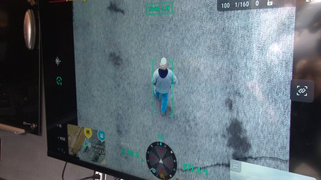
UAVs also conducted aerial surveillance, delivering real-time imagery to assess flooding conditions, coordinate resources, and pinpoint urgent intervention sites.
Beyond rescue tasks, UAVs were mobilized for disinfection spraying, medical equipment delivery, and supporting post-flood disease prevention efforts.
Thanks to their flexibility, automation, and ability to access challenging terrains, UAVs have become an essential force in enhancing the speed and effectiveness of rescue operations under extreme weather conditions.
Malawi: UAVs for Prevention and Emergency Response
In the prevention phase, UAVs were used to map detailed topography, monitor river systems, and simulate water level dynamics under extreme weather conditions. Data collected from UAVs, combined with satellite imagery, facilitated the creation of high-resolution risk maps, enabling local communities to identify vulnerable areas and implement early response measures.
Within just 24 hours, multiple UAVs were deployed to collect on-site imagery and transmit real-time flood data, allowing ground rescue teams to identify and prioritize critical areas requiring immediate support.
Some UAVs were equipped with thermal sensors to aid in locating trapped individuals and were also used to deliver medical aid packages to isolated regions.
In the post-disaster phase, UAVs contributed significantly to recovery efforts. Aerial monitoring helped rapidly assess damage to infrastructure and housing, providing accurate and transparent data to support insurance compensation and reconstruction planning.
United States: UAVs in Rescue, Emergency, and Law Enforcement Operations
In the state of West Virginia (USA), rescue teams and law enforcement agencies have utilized UAVs to search for missing persons, monitor criminal activities, and manage wildfires. In a forest fire spanning approximately 12 hectares, UAVs assisted firefighting teams in identifying hotspots, thereby preventing the fire from spreading further.
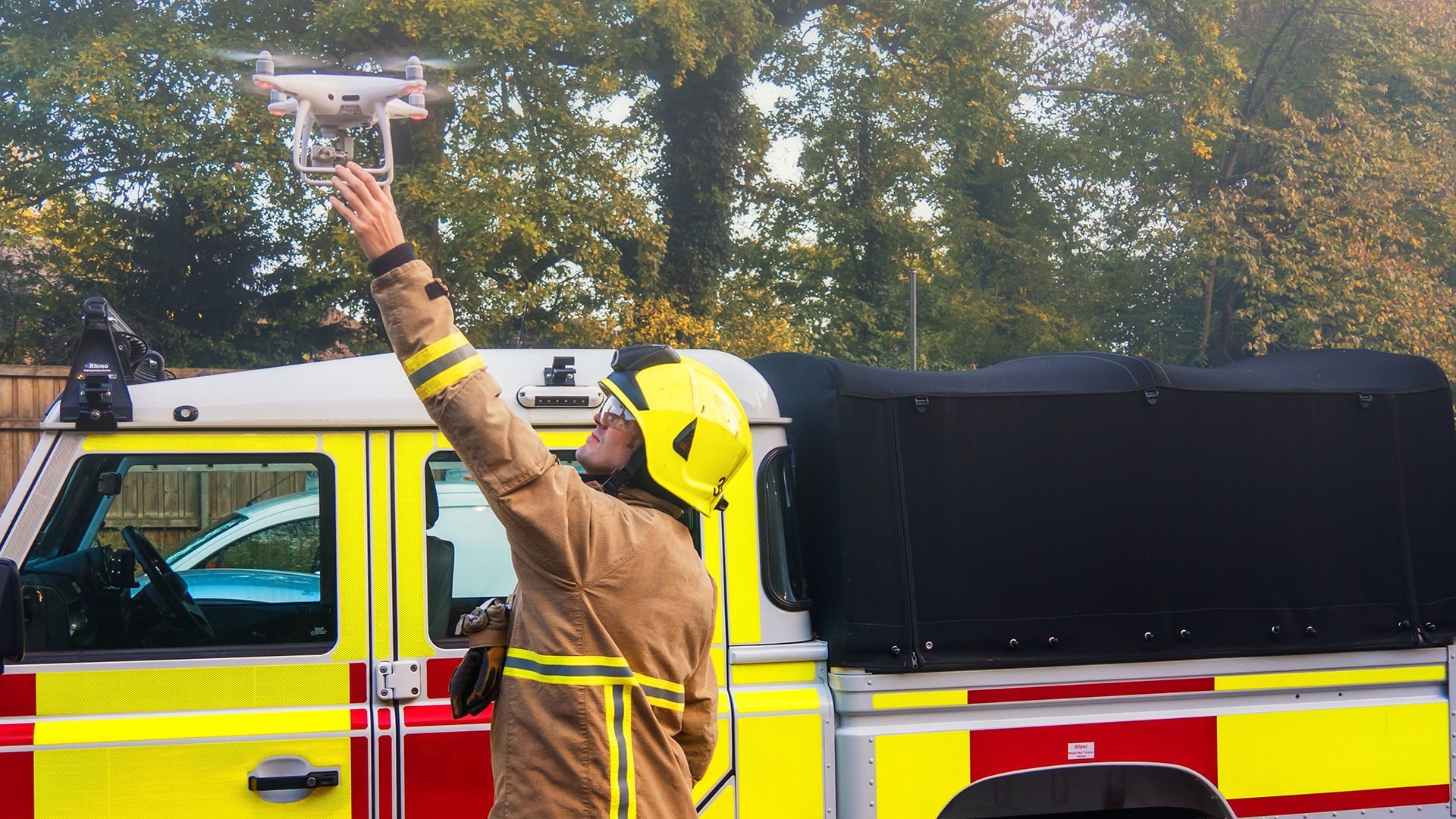
Authorities deploy UAVs for rescue operations during natural disasters. (Illustrative image: Shutterstock)
In hostage situations and armed standoffs, police in West Virginia have employed UAVs to access dangerous buildings without having to physically dispatch personnel inside. Equipped with infrared sensors and night vision capabilities, these UAVs can swiftly detect the location of suspects hiding in dense forests or under low-visibility conditions.
Furthermore, these UAVs are integrated with two-way communication systems, enabling law enforcement to negotiate remotely with suspects for up to six hours. As a result, officers can ensure the safety of personnel while maintaining operational control of the situation.
Libya and Mozambique: UAVs in Humanitarian Response
With their ability to capture high-resolution aerial imagery, UAVs assisted rescue teams in quickly identifying the most severely affected areas, enabling more efficient allocation of relief resources.
UAVs helped assess damaged infrastructure, supporting utility companies in restoring water and electricity systems.
A notable example of UAV deployment was during the landfall of Cyclone Eloise in Mozambique in January 2021. UAVs were rapidly deployed to search for missing persons and assess storm damage across multiple regions. Their immediate availability and adaptability to complex terrains enabled timely data collection for relief coordination.
In many emergency situations, UAVs acted as delivery platforms, transporting medicine, food, and essential supplies to isolated communities unreachable by conventional means. Thanks to their rapid deployment and mobility, UAVs significantly improved the timeliness and reach of humanitarian aid, increasing survival rates in critical areas.
Conclusion
The successes highlighted above confirm that UAVs are not merely technical tools but true life-saving platforms. Their ability to operate in harsh environments and provide real-time, on-site data has made them increasingly vital in disaster relief and recovery efforts across the globe.