DIGITAL TRANSFORMATION UAV

UAVs have become indispensable tools in the fields of land and soil management, as well as geography.

DIGITAL TRANSFORMATION UAV

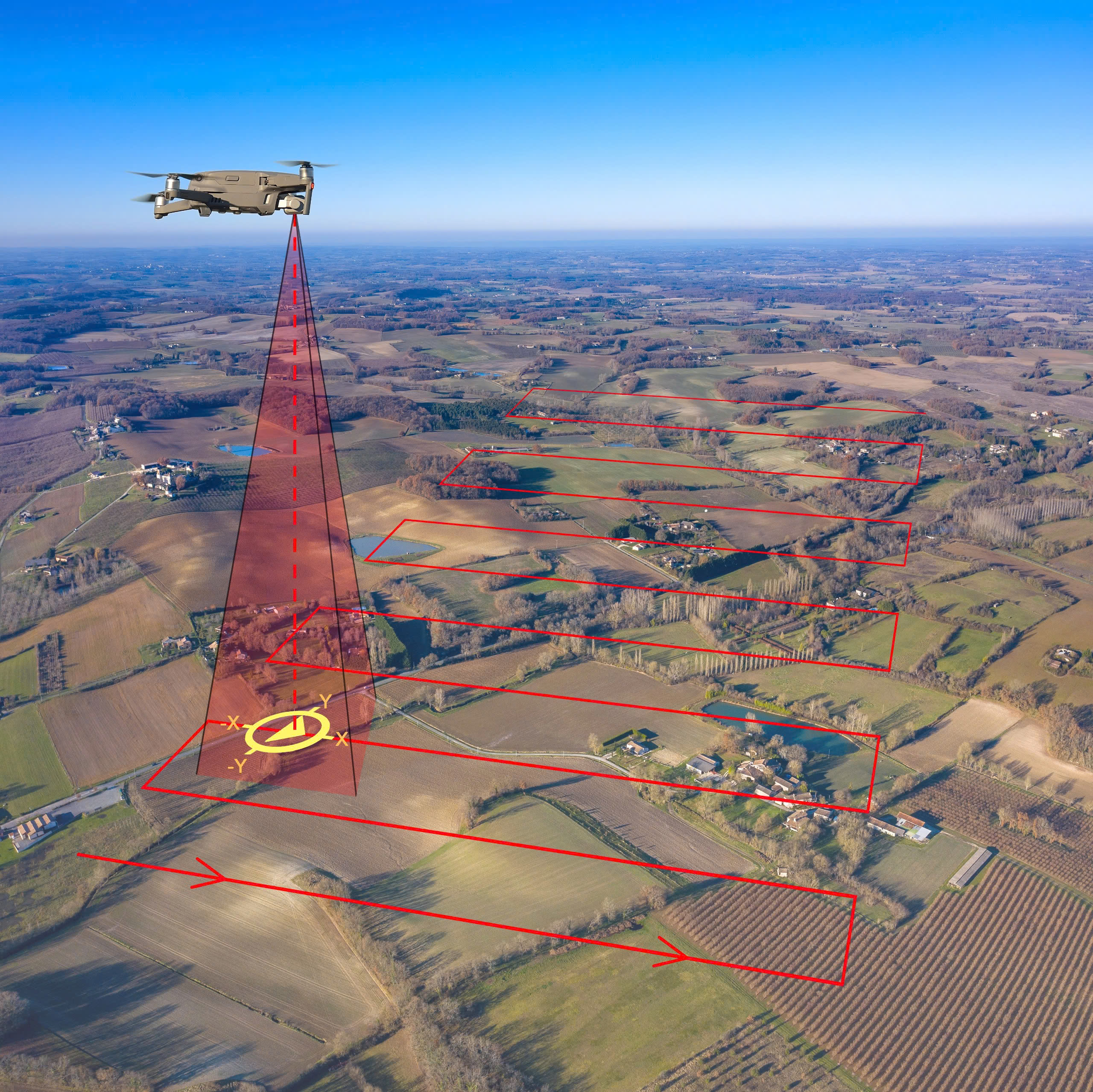
UAV Digital Transformation is the powerful combination of Unmanned Aerial Vehicle (UAV) and Artificial Intelligence (AI) technology, architecting a comprehensive 15-layer Digital Twin.

FUNCTIONS

  • For Management, Planning, and Forecasting: UAV-based digitization, combined with the DT15 platform, enhances the efficiency of urban, resource, and infrastructure management. It empowers planners to make more accurate decisions and improves forecasting capabilities, leading to optimized resource allocation and timely responses.
  • Comprehensive Spatial Digitization: This process ranges from detailed 2D/3D mapping of terrain and structures to creating a Digital Twin that encompasses the airspace, surface, and even subterranean levels, forming the foundation for intelligent management.
  • Automated Flight Planning: Flight missions are pre-programmed at the Flight Coordination Center, defining technical parameters such as altitude, camera angle, and image overlap. This plan is then synchronized with the ground control stations of the field flight teams.
  • Automated Point of Interest (POI) Identification: After collection, raw data is processed by specialized software to automatically identify locations that require more detailed investigation.
  • Automated Reporting: Post-flight results are automatically compiled into intelligent, visual reports, enabling management to make rapid and informed decisions.

TECHNICAL SPECIFICATIONS 

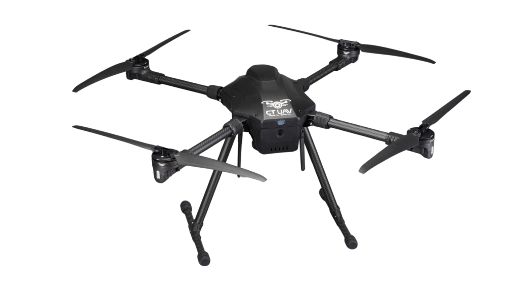
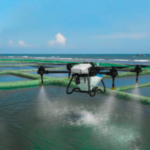
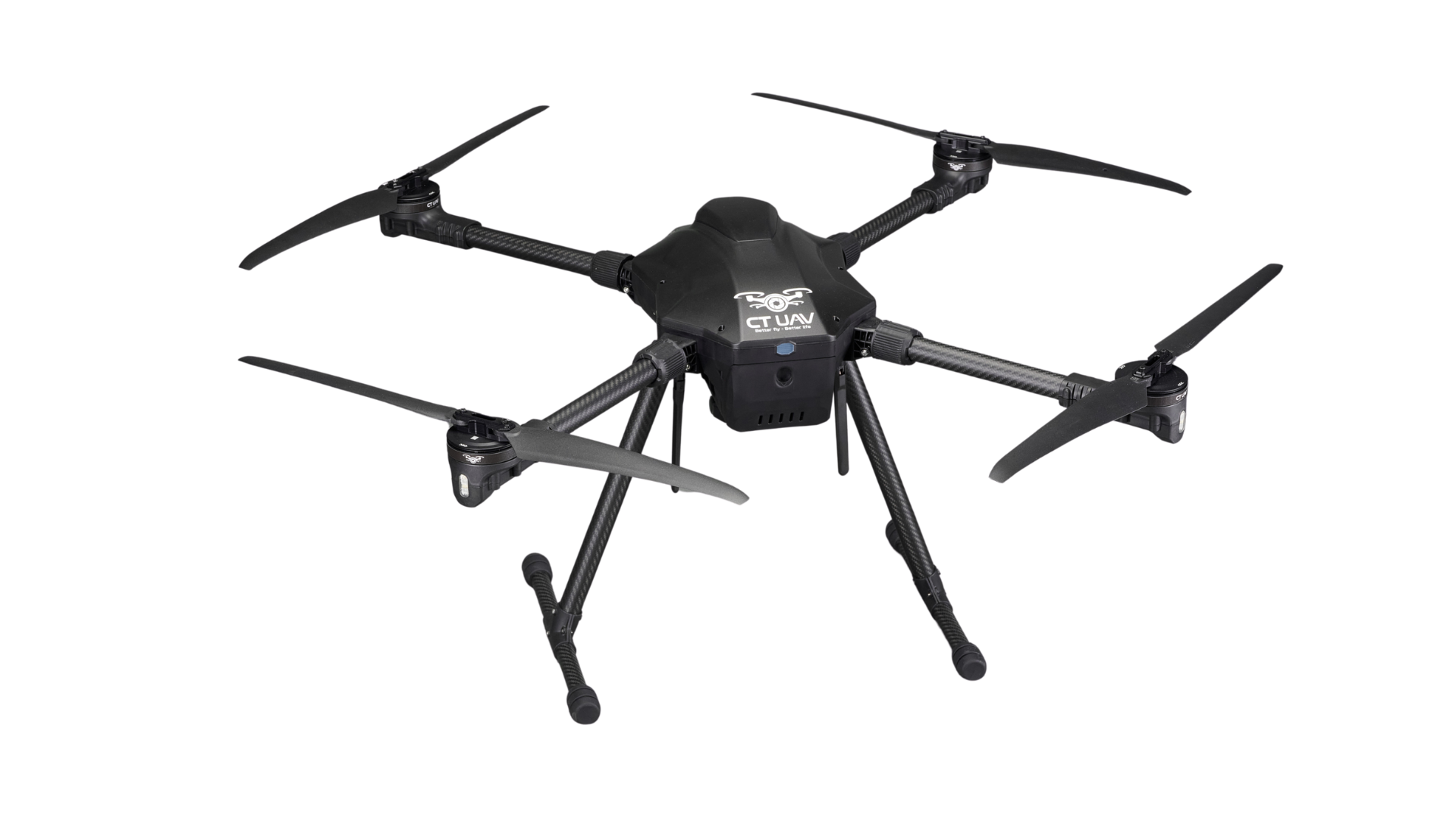
CT-Survey Compact 5kg

Structure 4 axes 
 Payload capacity  3 ~ 6 kg  
 Height <3000m  
Flight speed 10 ~ 15 m/s  
Wind resistance Level < 13.8 m/s (Level 6) 
Material Carbon, ABS plastic, aluminum
Hovering time Maximum: 60 minutes


ADVANCED TECHNOLOGIES

The device is integrated with advanced technologies such as:

  • High-resolution camera
  • Multispectral sensor, LiDAR, RTK/PPK
  • 2D/3D mapping software

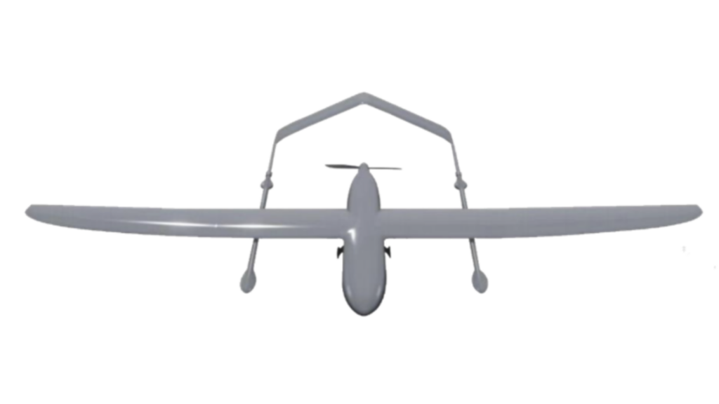
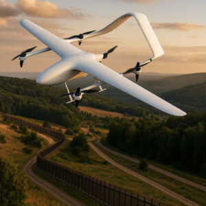
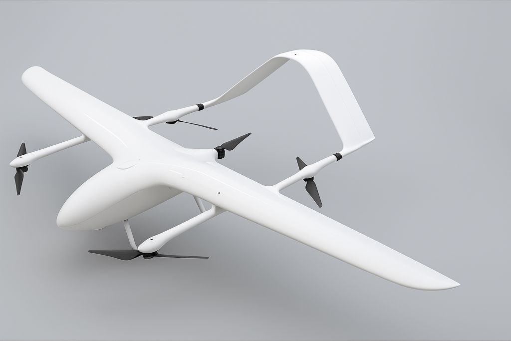
CT-Survey Elite 10kg (VTOL 4.4m) (illustrative image)

Structure Fixed-wing aircraft with vertical takeoff and landing (eVTOL)
Payload 10kg
Height <3000m
Flight speed 110km/h, can go up to 145km/h
Wind resistance <13.8m/s (Level 6)
Camera Zoom hybrid 4K AI 180x
Hovering time Maximum: 360 mins

ADVANCED TECHNOLOGIES

  • Integrated 4K AI Camera 
  • Multiple Sensor Integration 
  • Integrated GPS RTK and Obstacle Avoidance System


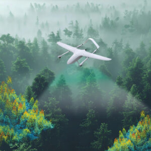
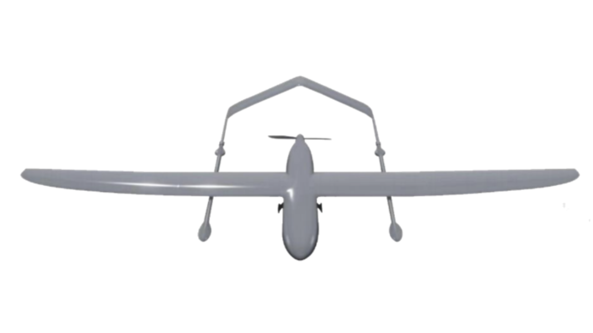
VTOL 2.7m (illustrative image)

Structure Fixed-wing aircraft with vertical takeoff and landing (eVTOL)
Payload Capacity 3kg
Flight Altitude <3000m
Flight Speed 110 km/h (up to 145 km/h)
Wind Resistance Level <13.8m/s (Level 6)
Camera Zoom hybrid 4K AI 180x
Hovering Time No load: 180 mins
Full load: 120 mins

ADVANCED TECHNOLOGIES 

  • High-resolution LiDAR
  • Multispectral and hyperspectral cameras
  • Biomass sensors, moisture, and Leaf Area Index (LAI) sensors  
  • MRV-compliant data processing software

REGISTRATION FOR MORE INFORMATION