CONSTRUCTION INSPECTION UAV

CONSTRUCTION INSPECTION UAV

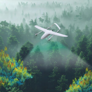
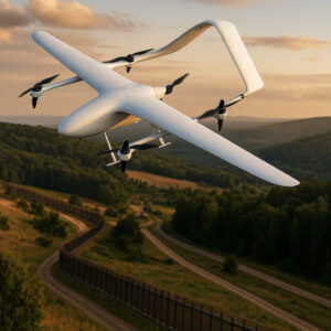
Construction Inspection UAVs are used for site digitization, progress monitoring, and quality control throughout the entire project lifecycle.

FUNCTION

Pre-construction Phase:

  • Topographic surveying and 2D/3D site mapping to provide accurate data on existing ground conditions.
  • Supporting layout design & preliminary quantity takeoff by delivering comprehensive information for design and material estimation.
  • Assessing existing site conditions for project implementation.

Construction Phase:

  • To promptly identify any delays against the established schedule.
  • Calculate cut-and-fill volumes and construction materials.
  • Monitor labor safety and site operations in real time.

Post-Construction Phase:

  • Collect field data to create as-built records.
  • Evaluate finishing quality and detect structural deviations.
  • Prepare a digital model to support facility management and operations.

TECHNICAL SPECIFICATIONS

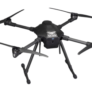
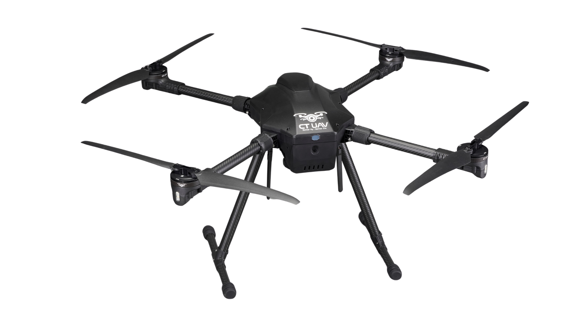
CT-Survey Compact 5kg

Structure 4 axes
Payload capacity 3~6 kg
Height 5000m
Flight speed 10 ~ 15 m/s
Maximum resist wind resistance < 13.8 m/s (Force six winds)
Camera 4K AI 180x hybrid zoom

PRODUCT SPECIFICATIONS

The equipment is integrated with advanced technologies such as:  

  • High-resolution Camera, LiDAR, and RTK/PPK.
  • Multispectral/ thermal sensors help UAVs automate the processes of surveying, construction monitoring, and support the creation of as-built documentation and specialized construction software.

REGISTRATION FOR MORE INFORMATION