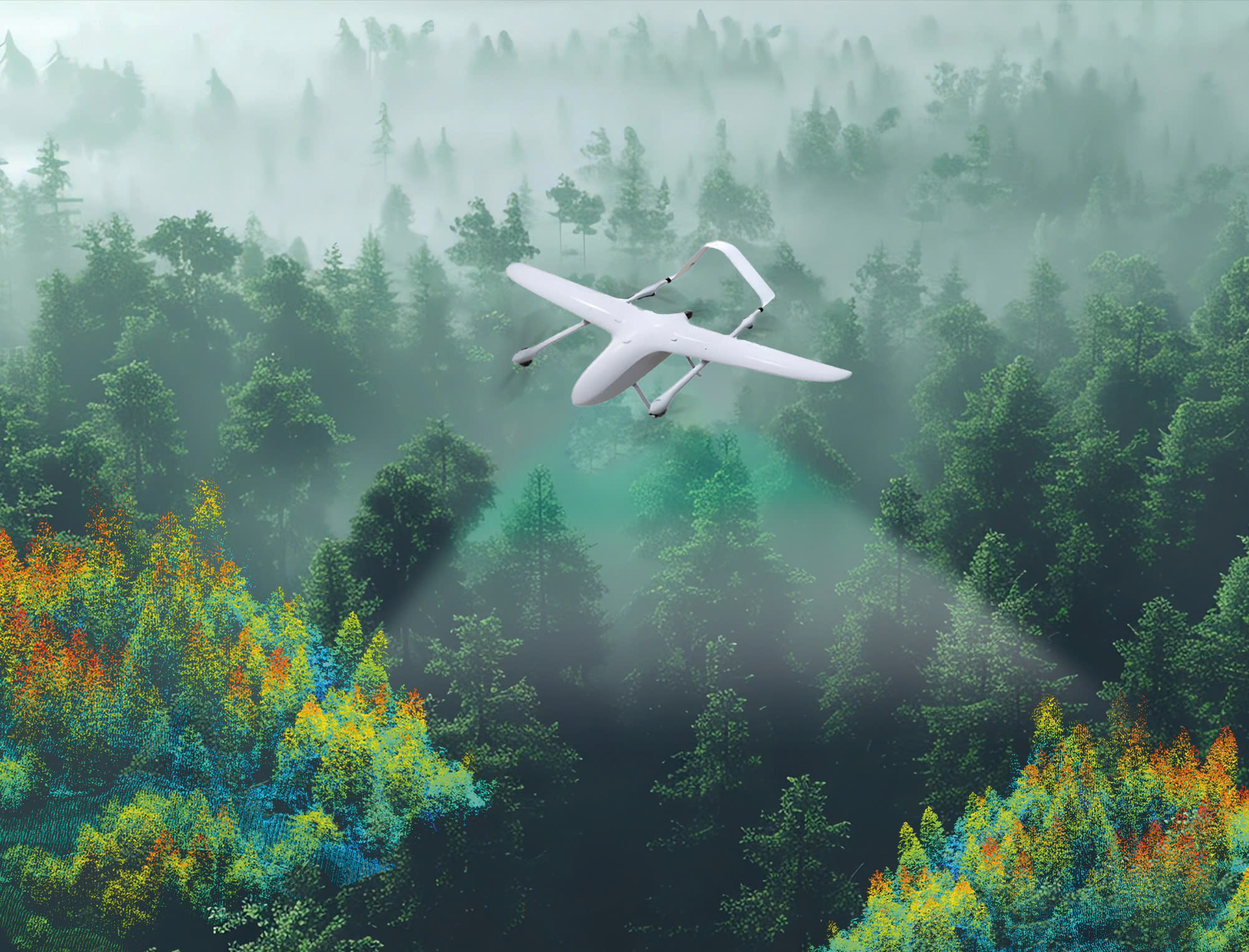

The Carbon Credit UAV is a specialized technological solution that supports Measurement, Reporting, and Verification (MRV) in projects aimed at greenhouse gas (GHG) absorption and emissions reduction.
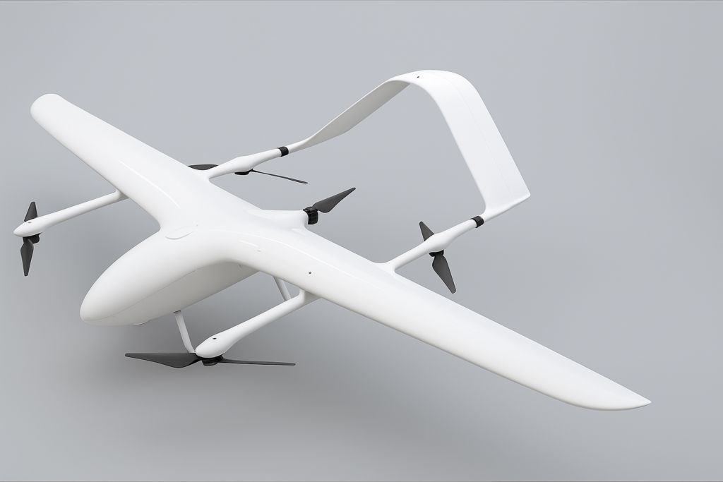
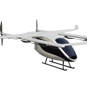
VTOL 2.7m (illustrative image)
| Material | Carbon fiber, ABS, Aluminum Alloy |
| Size | 2700 x 1500 x 500 mm |
| Structure | Fixed-wing aircraft with vertical takeoff and landing (eVTOL) |
| Payload Capacity | 3kg |
| Hovering Time | No load: 180 mins Full load: 120 mins |
| Wind Resistance Level | <13.8m/s (Level 6) |
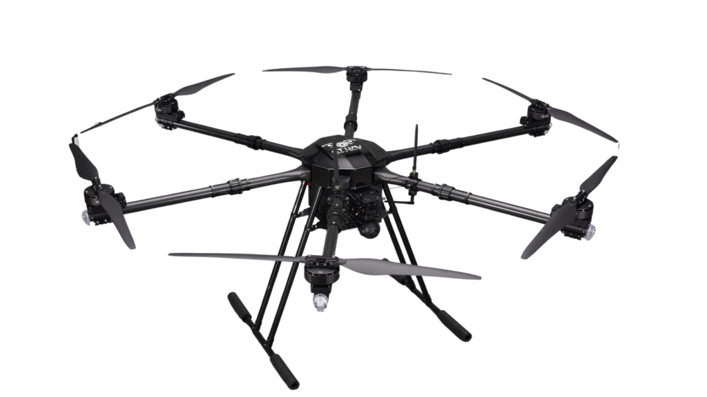
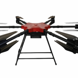
CT-Security Sky Guard
| Material | Carbon fiber, ABS, Aluminum alloy |
| Size (mm) | Folded: 1000*1000*800 Unfolded: 2000*2000*800 |
| Weight | 35-300 kg |
| Payload capacity | 20-200 kg |
| Hovering time | No load: 60min Full load: 20-30min |
| Flight speed | 10-15 m/s |
| Height | < 4000m |