As drones increasingly become indispensable across various sectors—ranging from agriculture, security, entertainment, to disaster relief—the pressing question arises: How can we safely, efficiently, and reliably manage airspace congested with unmanned aerial vehicles (UAVs)?
NASA is pioneering the solution to this challenge by developing the In-Time Aviation Safety Management System (IASMS)—an advanced software capable of predicting and warning of risks to drones before they occur.
“If everything is going as planned with your flight, you won’t notice the IASMS working. But when an unusual situation arises—such as the loss of navigation or communication—the system provides an alert to the operator.” said Michael Vincent, Acting Deputy Project Manager for NASA’s System-Wide Safety Program at Langley Research Center.
Real-World Simulation: Assisting Hurricane Relief
On March 5, NASA conducted a hurricane relief simulation at the Human-Autonomy Teaming Laboratory at Ames Research Center in California’s Silicon Valley. During this test:
- 12 drone pilots managed up to 6 UAVs flying beyond visual line of sight to drop supplies to residents stranded by a catastrophic hurricane.
- Additional drones conducted scripted search-and-rescue operations and levee inspections in the background.
- Data was collected on mission success, workload, user experience, and the system’s usability.
One pilot from the Massachusetts Institute of Technology Lincoln Laboratory operated a drone during the test, which was part of NASA’s collaborative efforts with George Washington University.
This simulation marks just the beginning of NASA’s long-term strategy for deploying drone technology in real-world emergency situations. The insights gained will help inform hurricane relief and recovery flight tests, scheduled for 2027.
Extensive Flight Trials Across the U.S.
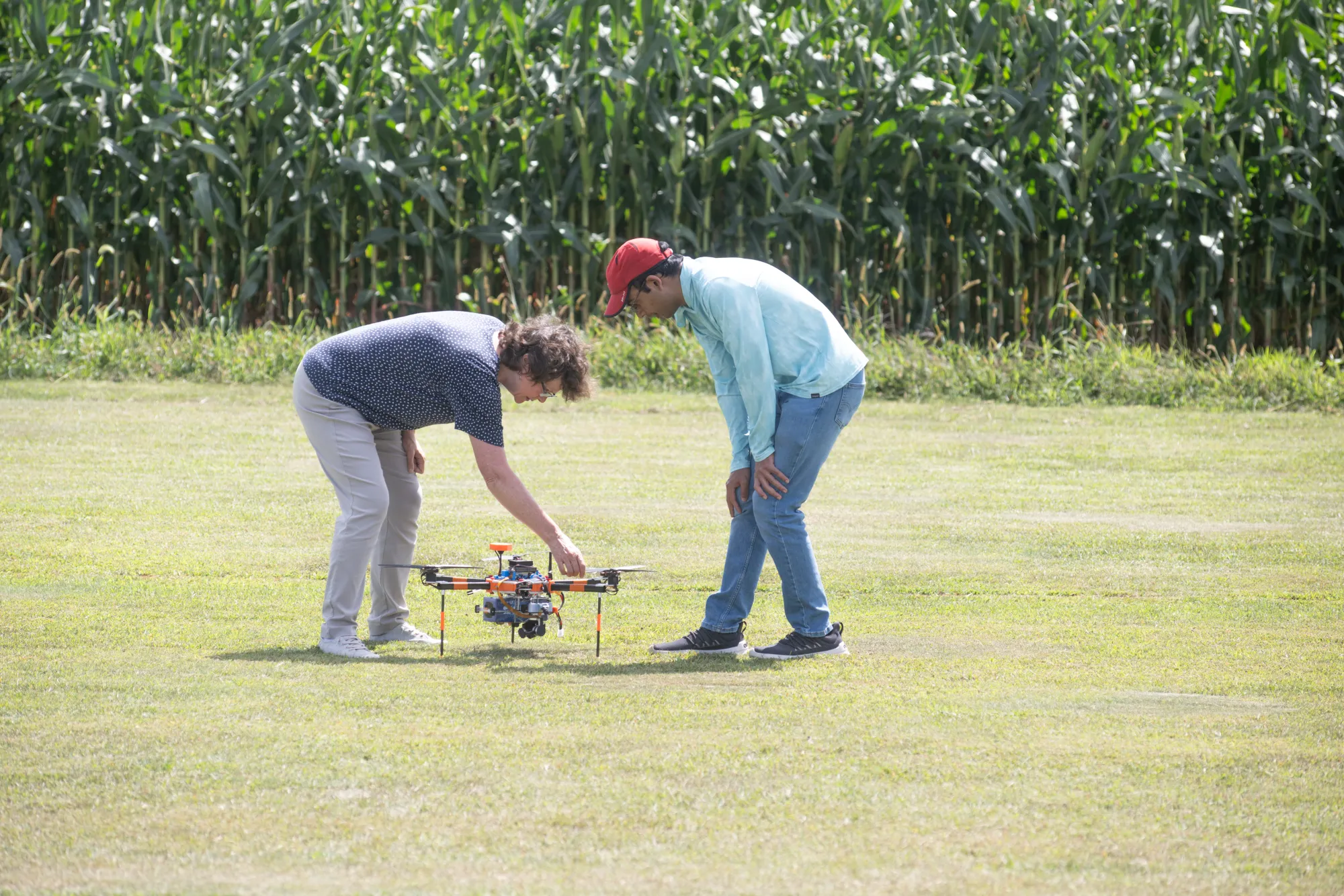
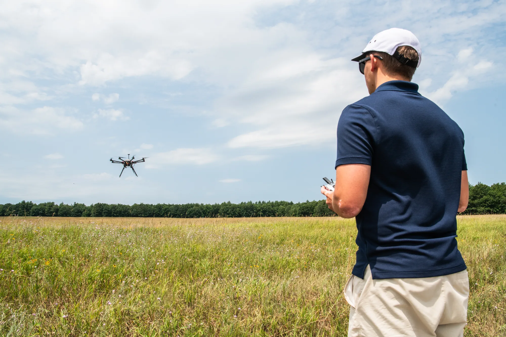
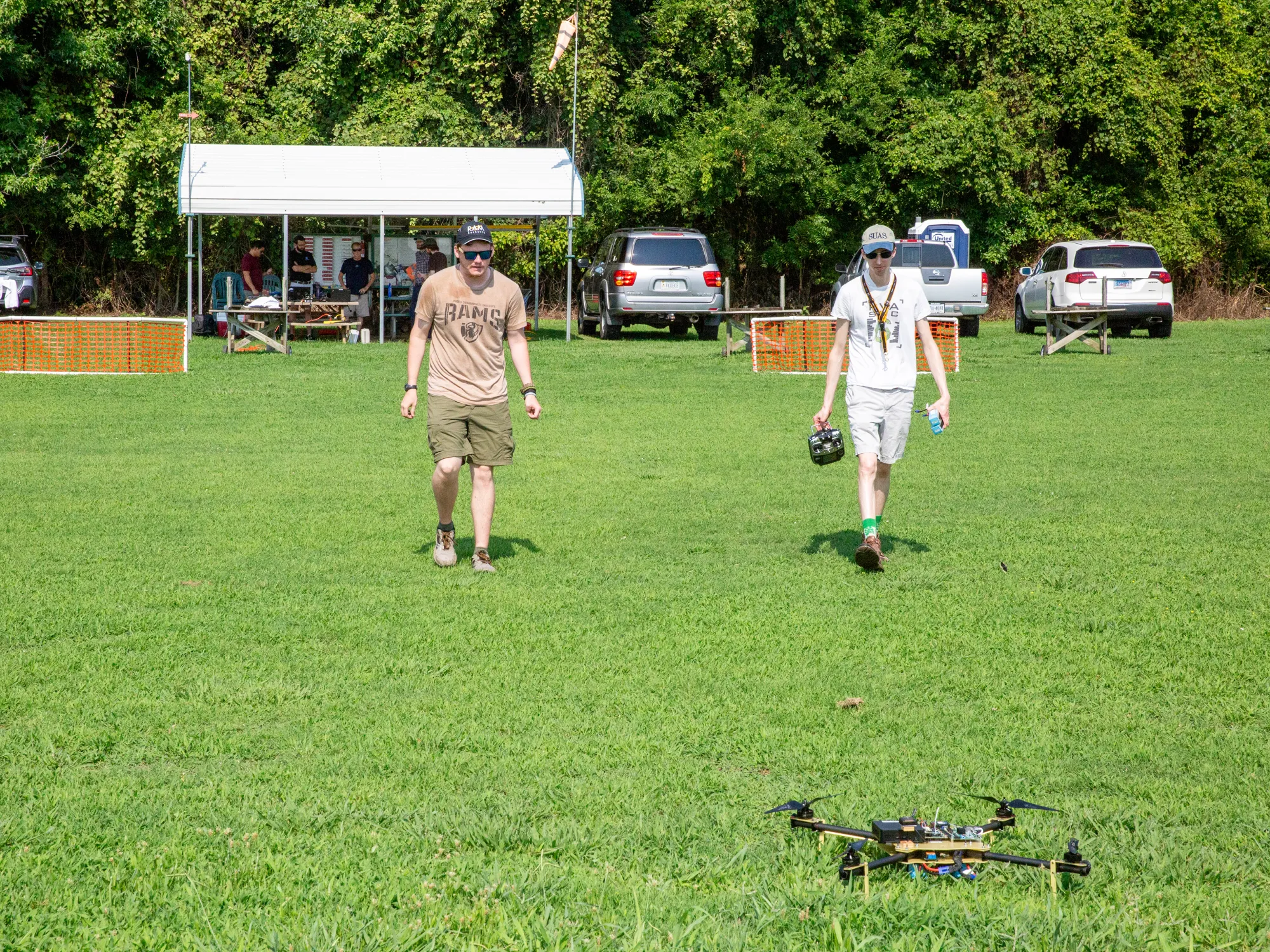
In the summer of 2024, IASMS underwent further validation through:
 A test flight with the Ohio Department of Transportation, where drones equipped with the IASMS software transmitted performance data back to NASA Langley.
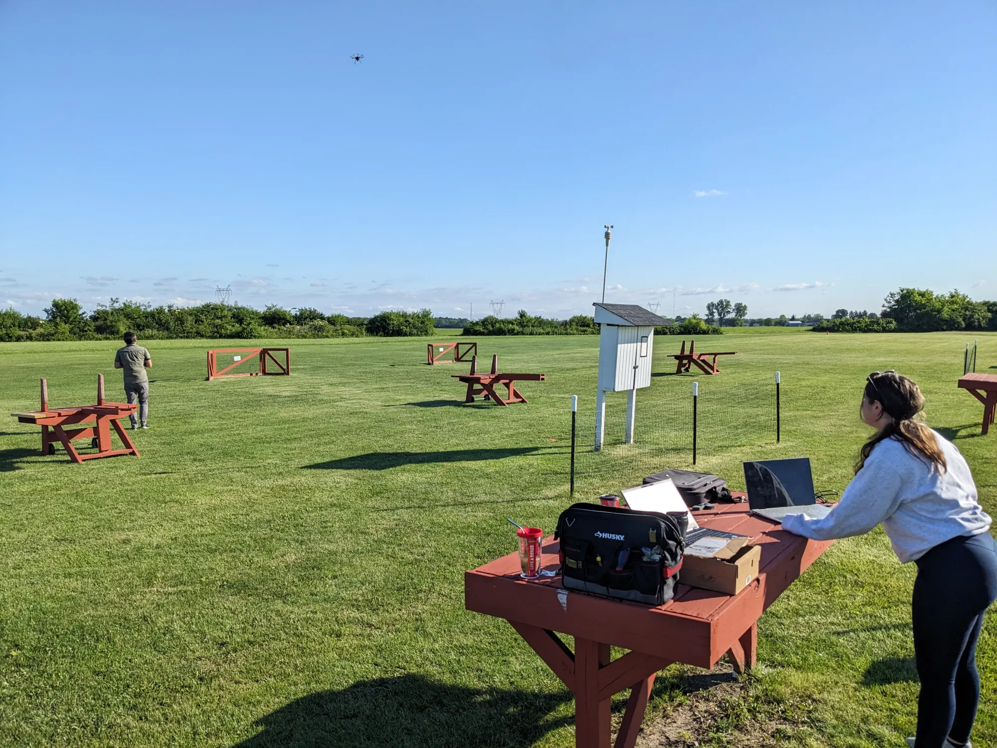 A series of experiments with George Washington University, University of Notre Dame, and Virginia Commonwealth University, conducted in Massachusetts, Indiana, and Virginia, respectively.
The test scenarios varied from flying in wildfire conditions, delivering packages in urban areas, to traffic monitoring. The IASMS was tailored for each specific mission and flight environment.
Laying the Groundwork for a Safe Drone Era
When combined with other systems, such as NASA’s Unmanned Aircraft System Traffic Management (UAS-TM), IASMS promises to make routine drone flights a reality across U.S. airspace, especially in populated areas.
“Ensuring safe drone operations is a collective responsibility involving the pilot, the drone manufacturer, the operator, and the Federal Aviation Administration (FAA),” said Vincent. “Having a system that monitors, assesses, and mitigates risks in real-time will provide much greater safety and confidence.”
The IASMS project is part of NASA’s System-Wide Safety Program, supporting the agency’s Advanced Air Mobility (AAM) mission—aiming to drive the future development of urban air mobility with electric air taxis and intelligent drones.
NASA is not just envisioning a smart sky—they are building it, one flight at a time.