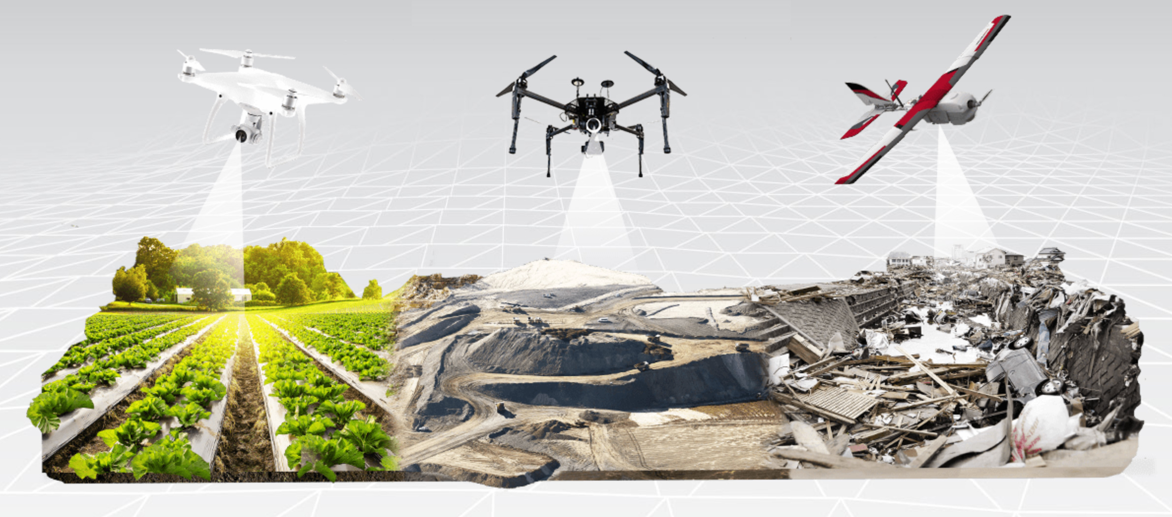
In the era of digitalization and automation, unmanned aerial vehicles (UAVs) are progressively replacing conventional terrestrial surveying techniques across various practical applications. By leveraging photogrammetric methods to generate 3D models from 2D imagery, UAVs have demonstrated remarkable value in enhancing both efficiency and safety within the field of geospatial surveying.
Increased Efficiency – Reduced Costs – Expanded Capabilities
Compared to classical surveying methods, which often require significant time and human resources, UAVs enable surveyors to complete projects far more rapidly. Tasks that traditionally span several weeks can now be executed within a few days. This acceleration translates directly into substantial cost savings, particularly in large-scale or time-sensitive projects.
Moreover, UAVs can be swiftly deployed across nearly any terrain — from rooftops and steep slopes to unstable ground and high-risk traffic zones. Their ability to access hard-to-reach locations, such as tree canopies or communication towers, minimizes the need for field personnel to enter hazardous environments.
Sufficient Accuracy to Supplement or Replace Ground Methods
Accuracy remains a cornerstone requirement in the surveying discipline. While UAVs were once scrutinized for falling short of expected precision levels, numerous studies have confirmed that, when equipped with advanced GNSS positioning systems and subjected to rigorous data processing, UAVs can deliver accuracy levels sufficient for replacing or supplementing traditional ground-based techniques.
One illustrative case involved the aerial survey of a 4-acre site comprising both well-suited (e.g., rooftops and parking areas) and challenging features (e.g., vertical walls, power lines, and vegetated terrain). By incorporating stereo image processing to mitigate data gaps and distortions, the survey was completed in just half a day of fieldwork and 1.5 days of processing — in contrast to the three days required by traditional methods. The resulting vertical root mean squared error (RMSE) was only 2 cm, underscoring the UAV’s capacity to meet stringent accuracy requirements.
Time and Cost Optimization for Complex Projects
Beyond speed and safety, UAVs offer clear economic advantages. In a rooftop survey conducted for solar panel installation, data was collected across three commercial roofs—ranging from 3 to 7 acres—in a single day, with all critical features (e.g., HVAC units, gas lines, skylights) extracted remotely through stereo analysis. Without the need for physical access to the roofs, the entire workflow—from flight to final deliverables—was completed in just seven days, achieving a 41% cost reduction and a 58% time saving compared to traditional approaches.
In another instance, a comprehensive topographic and planimetric survey of a 260-acre golf course was conducted in one day using UAVs. Had conventional methods been employed, three field crews would have required 30 days to collect comparable data, significantly disrupting course operations. Although a few densely vegetated areas necessitated traditional surveying, UAVs successfully captured semi-obscured zones via stereo compilation, ultimately completing the project in 15 days — realizing a 75% cost saving and a 50% reduction in time.
The Future of Geospatial Surveying
UAVs have unequivocally established themselves as an indispensable component of the modern surveyor’s toolkit. Contemporary UAV systems are capable of achieving centimeter-level accuracy with minimal reliance on ground control points. Coupled with specialized mapping software, they can produce high-resolution orthomosaics, digital elevation models (DEMs), and 3D reconstructions with exceptional absolute accuracy — meeting the demands of even the most technically rigorous projects.
In conclusion, UAV photogrammetry is not merely a technological trend but a transformative advancement in geospatial sciences. It redefines how professionals collect, interpret, and utilize spatial data, offering a safer, faster, and more cost-effective alternative to traditional methods. As this technology continues to evolve, UAVs are poised to become the standard in modern surveying practices worldwide.