UAVs have become indispensable tools in the fields of land and soil management, as well as geography.
UAV Digital Transformation is the powerful combination of Unmanned Aerial Vehicle (UAV) and Artificial Intelligence (AI) technology, architecting a comprehensive 15-layer Digital Twin.

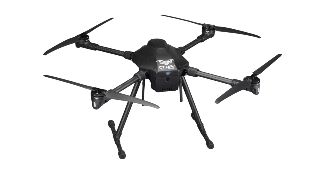
CT-Survey Compact 5kg
| Structure | 4 axes |
| Payload capacity | 3 ~ 6 kg |
| Height | <3000m |
| Flight speed | 10 ~ 15 m/s |
| Wind resistance Level | < 13.8 m/s (Level 6) |
| Material | Carbon, ABS plastic, aluminum |
| Hovering time | Maximum: 60 minutes |
The device is integrated with advanced technologies such as:

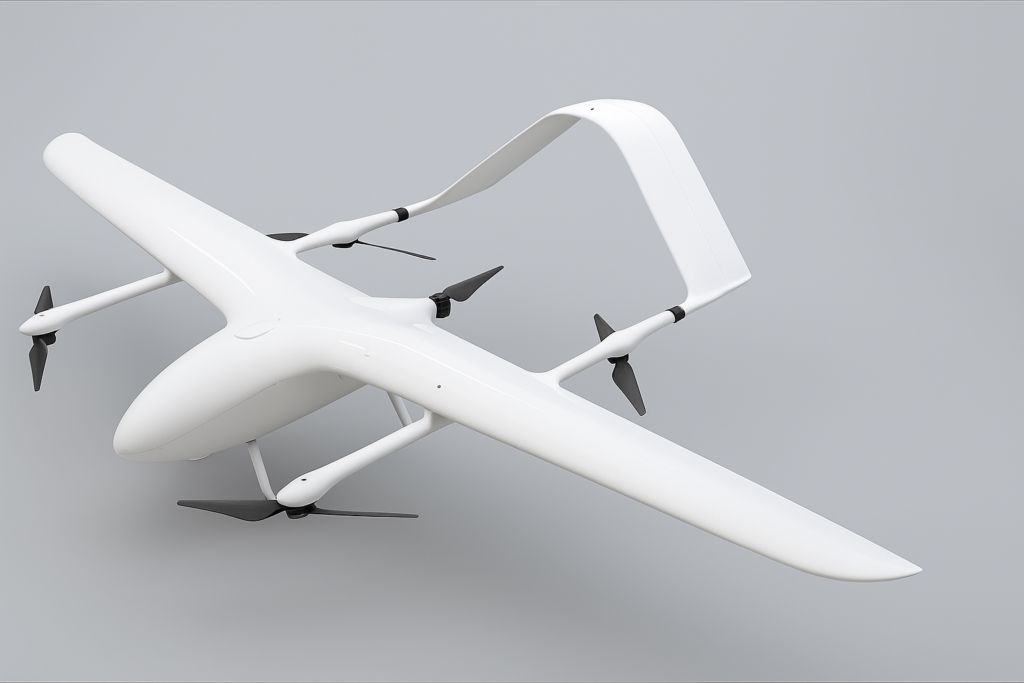
CT-Survey Elite 10kg (VTOL 4.4m) (illustrative image)
| Structure | Fixed-wing aircraft with vertical takeoff and landing (eVTOL) |
| Payload | 10kg |
| Height | <3000m |
| Flight speed | 110km/h, can go up to 145km/h |
| Wind resistance | <13.8m/s (Level 6) |
| Camera | Zoom hybrid 4K AI 180x |
| Hovering time | Maximum: 360 mins |

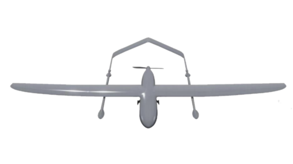
VTOL 2.7m (illustrative image)
| Structure | Fixed-wing aircraft with vertical takeoff and landing (eVTOL) |
| Payload Capacity | 3kg |
| Flight Altitude | <3000m |
| Flight Speed | 110 km/h (up to 145 km/h) |
| Wind Resistance Level | <13.8m/s (Level 6) |
| Camera | Zoom hybrid 4K AI 180x |
| Hovering Time | No load: 180 mins Full load: 120 mins |

Copyright © 2024 CT UAV All Rights Reserved.