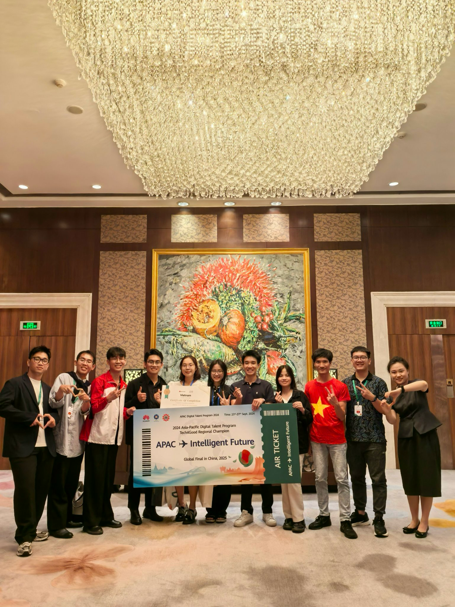
Ho Chi Minh City, Vietnam – Vietnam is spearheading a technological breakthrough in disaster response with its ambitious “Skynet” project, a pioneering initiative that integrates cutting-edge technological solutions for search and rescue (SAR) operations. The project focuses on utilizing the advanced drone system “SkySearch” and the sophisticated digital mapping and navigation tool “SkyNav” to address the pressing challenges in current rescue efforts.
According to Mr. Nam, the idea for the Skynet project took shape in September 2024, amidst the severe flooding caused by Typhoon Yagi in numerous regions. Firsthand observations and discussions with rescue teams in the aftermath of the typhoon highlighted two core issues that slowed down relief efforts. Firstly, the time-consuming process of locating victims, with manual house-to-house searches estimated to take up to five hours to survey a 10 square kilometer area. Secondly, the limitations in accurately determining the location of those needing rescue, as rescue teams often had to rely on conventional navigation tools like Google Maps, which become ineffective in flood conditions due to road closures caused by floodwaters and fallen debris.
To tackle these shortcomings, the team developed the Skynet system, centered around drone technology with two key functionalities: SkySearch and SkyNav. SkySearch is designed to perform the paramount task of quickly and efficiently locating individuals in need of rescue. These specialized drones are equipped with artificial intelligence (AI)-integrated cameras along with a dedicated AI model for human recognition in outdoor environments, capable of identifying individuals even when partially obscured by foliage or other obstacles. Notably, SkySearch also incorporates Mini-SAR radar technology, a development based on NASA’s Synthetic Aperture Radar (SAR) technology, enabling the drones to detect individuals concealed even behind thin walls, opening up the ability to locate victims trapped inside buildings.
Once the location of those needing rescue is determined, the SkyNav feature assists rescue teams in reaching them more quickly and safely. Data collected from the drones is processed to precisely locate both the victims and dangerous obstacles such as strong currents or fallen trees, displaying them on a digital map. For obstacles, the system marks them on the map and simultaneously utilizes a Dijkstra algorithm, which the team has specifically researched and modified for flood conditions, to suggest the most optimal and safest routes for rescue personnel, helping them avoid hazardous areas. For victims, after the AI camera detects them, the algorithm calculates their exact coordinates and displays their location on the map.
“Thanks to the powerful combination of SkySearch and SkyNav, the Skynet system developed by our team promises to thoroughly address the two major issues in current flood rescue operations: significantly reducing the time to locate individuals in need of rescue and optimizing routes so that rescue teams can reach victims more quickly and safely,” Mr. Nam expressed. The Skynet project not only reflects Vietnam’s commitment to applying advanced technology to strengthen its disaster response infrastructure but also opens up a future where search and rescue operations become more efficient and humane than ever before. As the project continues to evolve, more detailed information about the practical deployment and effectiveness of these groundbreaking technologies is eagerly anticipated, marking a significant step forward in the efforts to protect communities from the challenges of natural disasters.