Coastal erosion has become an increasingly serious issue due to climate change and human activities. Monitoring and assessing the extent of coastal erosion are essential for environmental conservation and the protection of coastal communities. In this context, Unmanned Aerial Vehicle (UAV) technology is introducing innovative approaches that enhance data accuracy and collection speed, thereby facilitating more effective solutions.
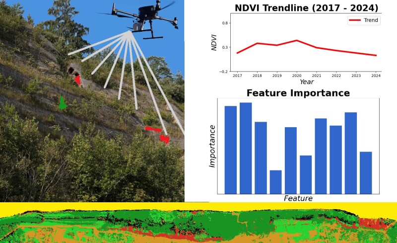
A team of Polish scientists has pioneered the application of UAVs in conjunction with advanced remote sensing technologies to study coastal topographical changes. By utilizing airborne LiDAR and bathymetric LiDAR sensors, the research team successfully recorded high-precision variations in coastal terrain. This study, published in Scientific Reports in January 2025, marks a significant advancement in the field of environmental monitoring.
UAV Technology and the Future of Coastal Monitoring
Traditionally, coastal erosion monitoring required labor-intensive and time-consuming surveying methods. However, with the development of UAVs and advanced sensors, researchers can now conduct highly accurate surveys without needing to physically access hazardous areas.
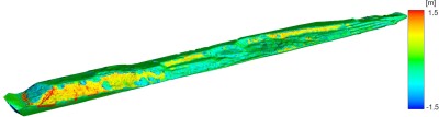
According to Paweł Tysiąc, one of the study’s authors, UAVs and LiDAR enable real-time terrain data collection, allowing scientists to construct three-dimensional spatial models of coastal changes. “The differences in electromagnetic wave reflection across eroded regions help us analyze landslide conditions and the contributing factors in detail,” Paweł explained.
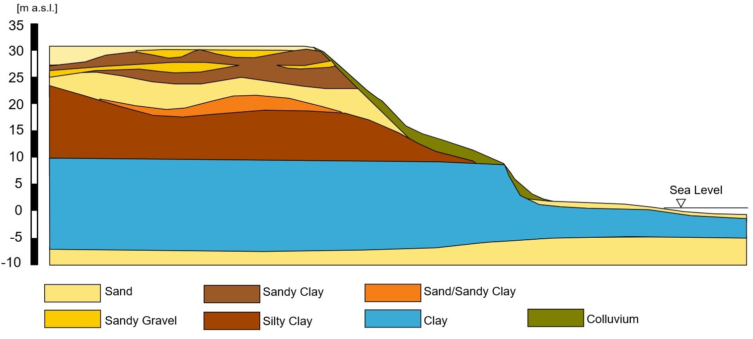
The integration of UAVs with LiDAR also facilitates the monitoring of underwater areas, an aspect often overlooked in previous studies. Through the use of Digital Elevation Models (DEMs), researchers can identify high-risk erosion zones, thus aiding local authorities in implementing effective coastal protection measures.
Impacts and Practical Applications
This study not only benefits Poland but also has potential applications in coastal regions worldwide. As rising sea levels and increasingly severe storms continue to pose challenges, deploying UAV technology in coastal monitoring has become a crucial solution.
The application of UAVs and LiDAR in coastal erosion studies enhances analytical accuracy while significantly reducing costs and time compared to traditional methods. This serves as clear evidence of how modern technology can contribute to addressing complex environmental challenges.
Looking ahead, UAVs will continue to play a pivotal role in coastal ecosystem monitoring and conservation. The integration of UAV technology with artificial intelligence and big data modeling could enable more precise predictions of erosion trends, thereby supporting governments and environmental organizations in formulating effective coastal management policies.
Cre: Commercial UAV News